

Commercial, Land and Residential Boundary Mapping
As an official partner of both Ordnance Survey and Land Registry we combine the latest OS mapping data with official HMLR freehold boundaries to provide a comprehensive yet simple mapping solution.
The freehold Land Registry Title boundary is automatically drawn for you saving you the need to upload or draw plans when ordering searches.
Free to Use
Conveyancers can use our boundary mapping service free of charge to draw boundary plans during the search ordering process.

Land Registry Boundaries
The Land Registry freehold boundary is automatically detected and shown, saving you time and the hassle of mapping each property.
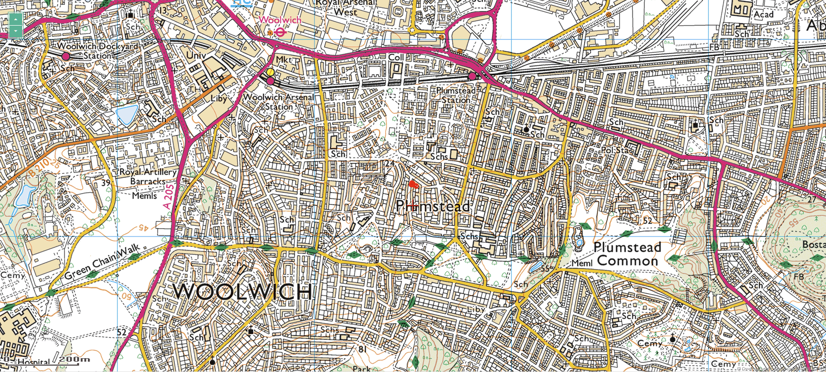
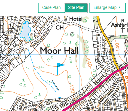
Site Plan
Ideal for large sites and land areas, switching to Site Plan displays a 1:25,000 Scale Colour Raster map; Making it easy to quickly mark out boundaries across very large sites.
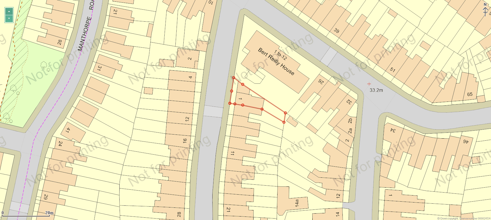
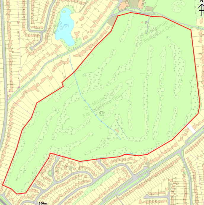
Case Plan
Using the largest scale OS MasterMap Topography Layer from Ordnance Survey, this provides clear and accurate outlines of properties, land and features, and is the default setting for all cases.
Mapping Features
Our FREE mapping service delivers the latest OS mapping data with a range of stand out features.
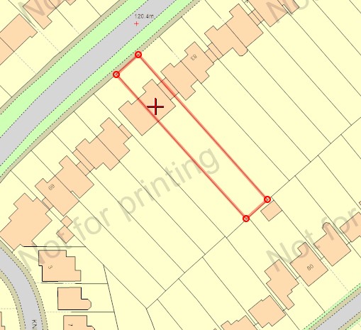
Draw or Flood Fill
Point and click each apex to draw a boundary or use the flood fill tool to auto select.
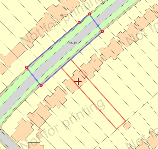
Highway Status
Ability to mark any additional highways for which adoption status is needed.
Expand and Zoom
Full screen and adjustable zoom levels enable you to create boundary plans for all sites.
Area Calculator
The site area is automatically calculated and used to select size dependant ancillary searches.